As I mentioned in a previous post (
map, read about it) Fort Hill is my favorite hike outside of the Hocking Hills region. The most impressive geological feature is Keyhole Arch.
If you look at the map, Keyhole Arch is directly across from the southern junction of Canby's Trail and the Gorge Trail. The view above is from the west end of the arch looking towards Bakers Fork.
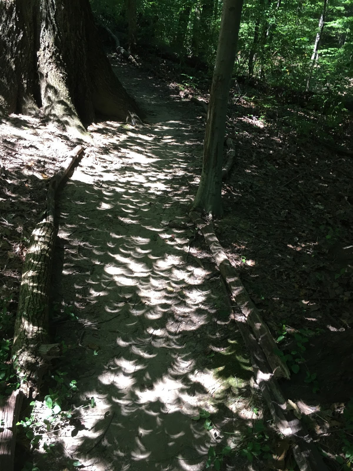
To get to the arch I hiked the Canby's Mt. Lover Trail, named after the plant shown at the end of this post, from the north and then, after following the trail across the top of the arch, hiked/slid downhill to the stream that created it. The trail can only be accessed by crossing Baker's Fork. That is difficult to do except in late summer because the stepping stones are under water and hidden from view most of the rest of the year. Additionally there are steep hills on the west side of the arch, a waterfall to climb on the east side, and a stream flowing through the arch to contend with.
 |
| Looking west from inside the arch. |
 |
| The same view from further inside the arch. |
 |
| Looking at Keyhole Arch from the Baker's Fork side. |
 |
| The same view from further outside the arch. |
 |
| The waterfall down to Baker's Fork Technically it is a near-vertical flow and not an actual fall. It is easier to climb this than trying to go up the slopes at either side. It is about twelve feet high. |
 |
| The stream crossing. The water is about three inches deep but there are plenty of stones to step on. You can't see them from a distance but with each step the next stone becomes visible. |
Keyhole Arch is probably ten to fifteen feet high when you are inside it and it is about two feet wide at the bottom. It is one of three arches at Fort Hill that I am aware of. One of them is across Baker's Fork from the Gorge Trail between the Canby's Trail junctions. I have not gotten close enough to that one to photograph yet. The third is a couple hundred feet from the southern-most point of the Gorge Trail and is easily visible from the trail. The picture in the post linked above is better than the one below.
 |
| Paxistima canbyi - an evergreen shrub/ground cover. Photo from wildflower.org. |
|